
British Mountain Map - Torridon and Fisherfields
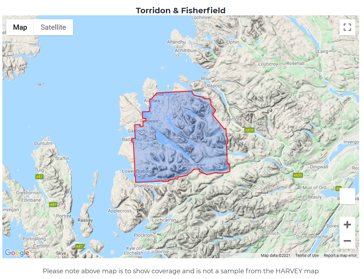
Detailed map of the giants of Torridon and the remote hills of Fisherfield on one sheet at 1:40,000 scale.
Summit enlargements of Beinn Alligin, Beinn Eighe, Liathach and An Teallach.
Includes 18 Munros, 12 Corbetts and 9 Grahams.
Tough, light, durable and 100% waterproof
Genuine original HARVEY mapping
Tried and tested by the British Mountaineering Council and Mountaineering Scotland
Technical Specification
Scale: 1:40,000
Ratio: 2.5cm = 1km
Flat size: 992 x 940mm
Folded size: 124 x 235mm
Weight: 90gms
Area of mapping: 1170sqkm
Double sided